V500 GNSS RTK
V500 GNSS RTK System
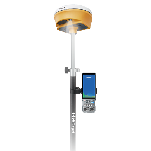
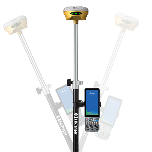
Equipped with an upgraded high-definition starlight camera, V500 brings out an excellent visual stakeout experience in low-light conditions. The compact and lightweight design,24 Hours Ultra-Long battery life make V500 a feasible and portable choice for surveyors and engineers in collecting data and improving position accuracy.
Better visual Stakeout Experience
- Visual positioning technology to find points with ease. The combination of virtual and reality by overlaying the design files with the real scene improves stakeout efficiency.
- Professional-grade starlight night vision HD camera with wide angle. Excellent performance and algorithm in tracking signals, achieving an accuracy of up to 1cm.
- Seamless switch of 360-degree AR stakeout between the handheld controller and the rover brings out immersive stakeout experiences making stakeout fast and accurate.

Built-in High-Precision Tilt Survey
- Based on the new generation of IMU, initialization occurs automatically at the startup without obtaining a fixed solution.
- Measure as reaching the point, efficient and convenient.
- Stable performance for reliable results.

Full Constellation and Full Frequency
- Advanced GNSS SoC chip features 1408 channels, supporting new frequency points B1C, B2a, and B2b RTK decoding for Beidou-3 Satellites.
- Multi-frequency interference detection technology and multi-stage adaptive filtering technology with a strong signal, good data, fast fixed procedure, and high accuracy.

Product Parameters
8mm+0.7mm/°tilt
Tilt Survey Accuracy
BDS/GPS/GLONASS/GALILEO/ QZSS/NavlC/SBAS
Signal tracking
Built-in 16GB ROM
Data Storage
1408/1760
Channels
1cm
Image Stakeout Accuracy
≤0.75kg
Weight
Send an Inquiry
Video
Releasing Hi-Target V500 GNSS RTK, the ultimate companion for stakeout.
Geofield is dedicated to quality, professionalism and ethics with strong commitment to exceed our client’s expectations.
Office
No. 44 Chime Avenue, New Haven, Enugu.