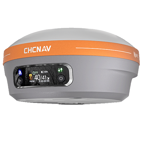
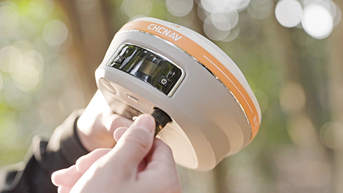
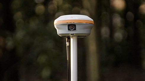
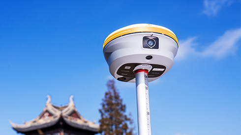
The i93 Visual IMU-RTK GNSS receiver combines advanced GNSS, IMU, and dual-camera video-photogrammetry to deliver a superior user experience. Its 3D visual stakeout and offset measurement features boost efficiency on construction sites. Powered by the CHCNAV iStar algorithm, it uses multi-band GNSS channels and hybrid positioning for reliable accuracy in challenging environments, making it a versatile tool for any project.
Main Features
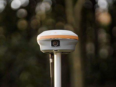
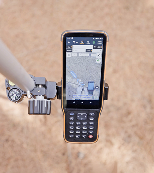
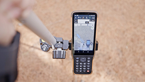
Visual Surveying
Dual cameras extract survey-grade 3D coordinates improving measurement efficiency.
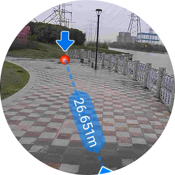
Visual Stakeout
Guidance by a clear, eye-catching directional information.
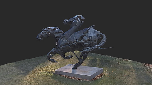
3D Modeling
Dynamic panoramic video capture.
Auto-IMU Technology
200 Hz Auto-IMU for automatic pole tilt compensation.
Benefits and Performances
01 AR Visual Stakeout
The i93 cameras provide an immersive 3D visual stakeout experience. With the 3D visual view, surveyors are guided by a clear, bold directional arrow and real-time distance to the stakeout point and lines marked directly on the ground.
02 3D Visual Surveying
The i93 quickly delivers survey-grade 3D coordinates from real-world video capture, making it easy to survey hard-to-reach, signal-obstructed, or hazardous points in the field—such as areas under overpasses, eaves, or near power poles.
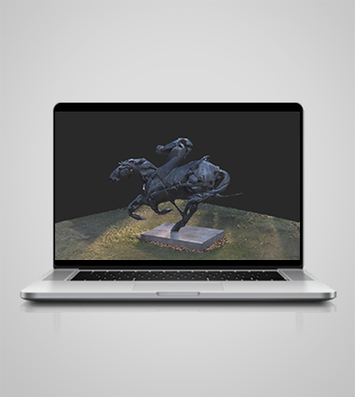
03 3D Modeling
By merging drone data with the i93’s dynamic panoramic video capture, 3D joint modeling of buildings and facades is easily achieved. Compatibility with standard 3D modeling software provides flexibility and convenience.
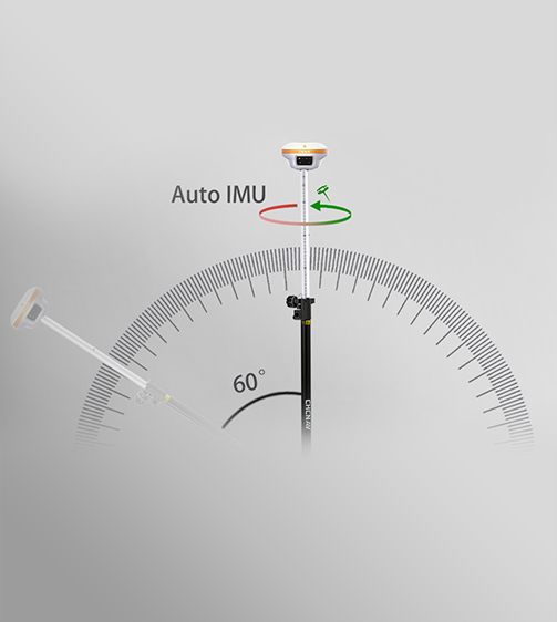
04 Auto-IMU Technology
The i93’s Auto-IMU provides simple and reliable pole tilt compensation, delivering accuracy to within 3 cm over a 60-degree tilt range without the need for manual initialization.
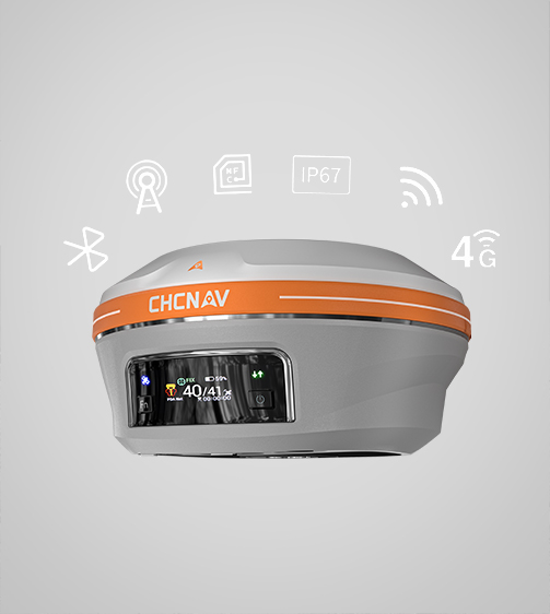
05 Superior GNSS Performance
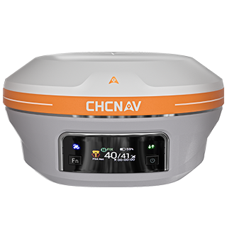
Experience unmatched GNSS performance with the i93’s 1408-channel receiver. Supporting GPS, GLONASS, Galileo, BeiDou, QZSS and SBAS constellations, the iStar2.0 algorithm provides over 96% reliable fix rate in areas of high solar activity.
06 Versatile Field Use
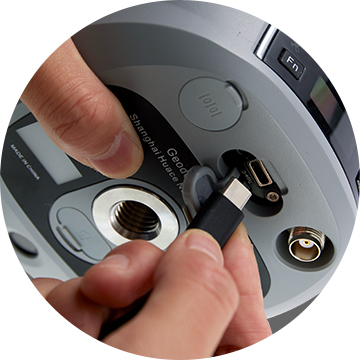
The i93 offers all the connectivity features a surveyor needs for any project scenario. Built-in Wi-Fi, Bluetooth, and NFC technologies ensure seamless connections to field data controllers. Integrated 4G and UHF modems support all GNSS RTK surveying modes.