CHCNAV i89

CHCNAV i89

Pocket-Sized Visual IMU-RTK GNSS

Highlights

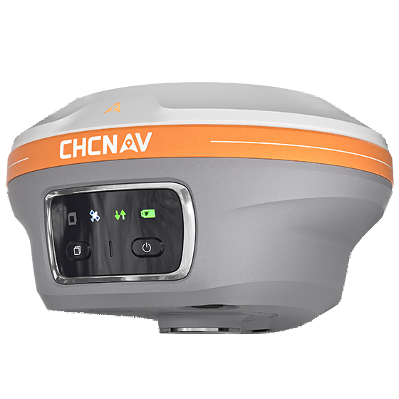
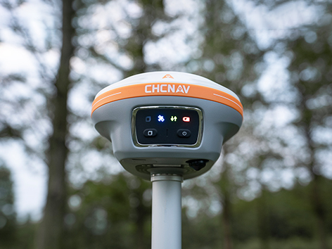
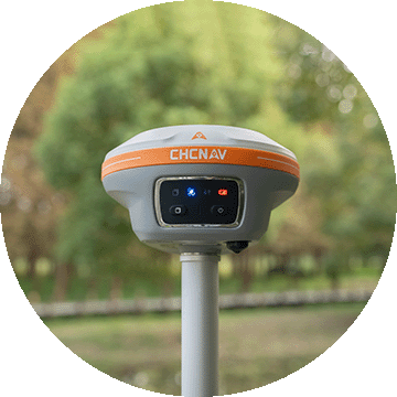
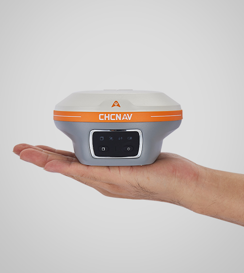
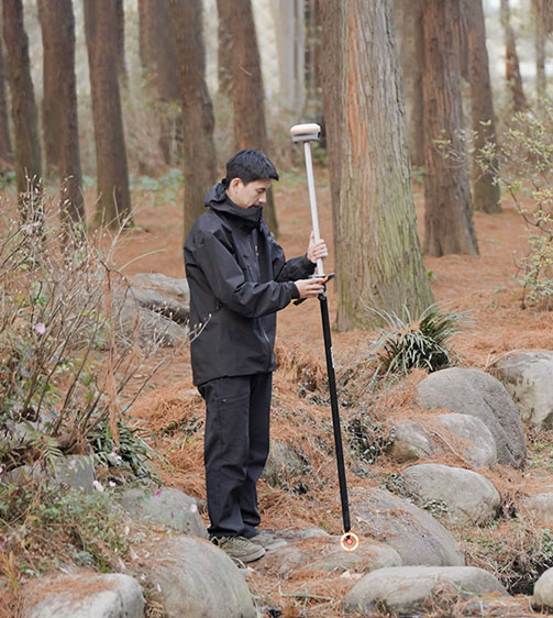
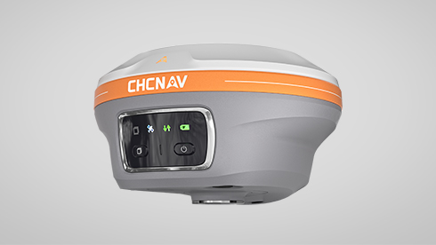
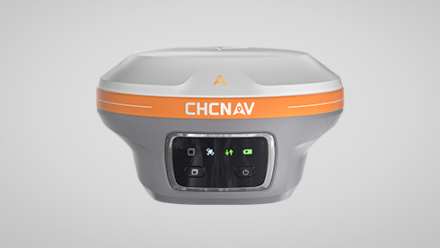
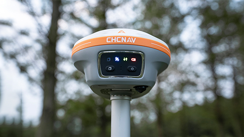
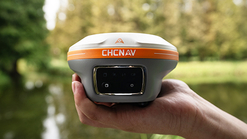
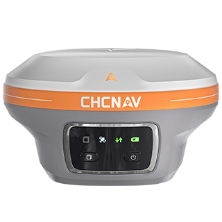
The i89 is a compact yet powerful surveying tool with a 1408-channel GNSS module that enhances RTK performance in challenging conditions. Its advanced ionospheric modeling ensures reliable RTK fixes, even during high solar activity. With 16.5 hours of battery life and a lightweight 750 g design, the i89 delivers efficiency and ease for daily surveying tasks.

Main Features

Lightweight

Only 750g for efficiency and ease of everyday use.

Visual Surveying

Dual cameras extract survey-grade 3D coordinates improving point measurement efficiency.

Superior GNSS

Advanced ionospheric error mitigation with iStar 2.0

Auto-IMU

200 Hz Auto-IMU provides accurate measurements with pole tilt compensation.

Benefits and Performances

01 Best GNSS Performance

The i89 achieves unrivalled GNSS performance – the iStar2.0 algorithm and ionospheric interference rejection technology provide a 96% reliable fix rate in low latitude regions with high solar activity.

Accurately measure previously inaccessible points with the i89’s vision surveying capabilities. Panoramic capture mode with 85% overlap with integrated IMU data significantly improves point measurement performance.

Simplify field operations with the i89’s AR visual navigation and stakeout features that save up to 50% of the operator’s time, even for less experienced users, with a reliability that is 10 times greater than standard gyroscope-based GNSS.

Seamlessly create 3D models using the i89’s video photogrammetry algorithms. Compatibility with industry-standard 3D modelling software ensures flexibility and convenience.

The i89’s built-in 200Hz Auto-IMU removes the need for manual initialization, ensuring efficiency with every measurement. Its automatic pole tilt compensation maintains 3cm accuracy over a 60-degree tilt range.

The i89 pocket-sized design (750g) integrates GNSS, IMU and dual cameras into a single compact unit. IP68-rated for durability and reliable performance in a variety of field conditions, the i89 can withstand a 2 meter pole drop.

Use Cases

Topographic Survey

Mining Operation Survey

Construction Survey

Detailed Specifications

CHCNAV i89

Pocket-Sized Visual IMU-RTK GNSS

Positioning

Physical

Sensors

Connectivity

Download

English

i89_DS_EN.pdf

1.96 MB

French

i89_DS_FR.pdf

2.70 MB

Spanish

i89_DS_ES.pdf

2.68 MB

Send an Inquiry


Geofield is dedicated to quality, professionalism and ethics with strong commitment to exceed our client’s expectations.

Office

Newsletter

Geofield Project © 2025. All Rights Reserved.