CHCNAV BB4

Highlights
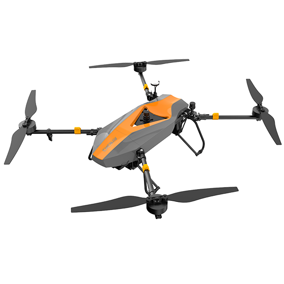
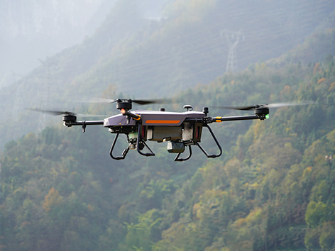
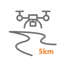
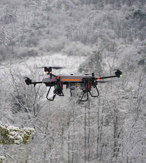
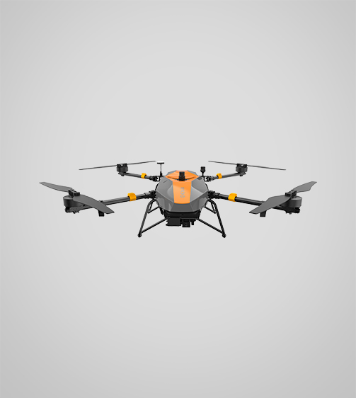
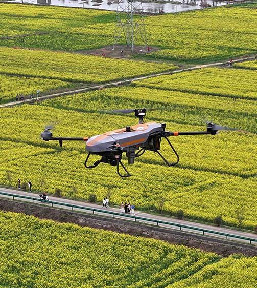
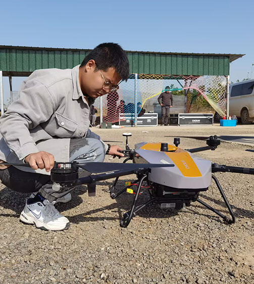
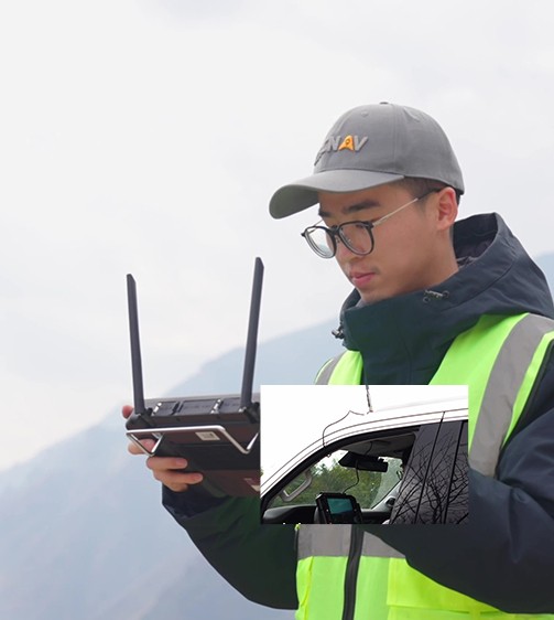
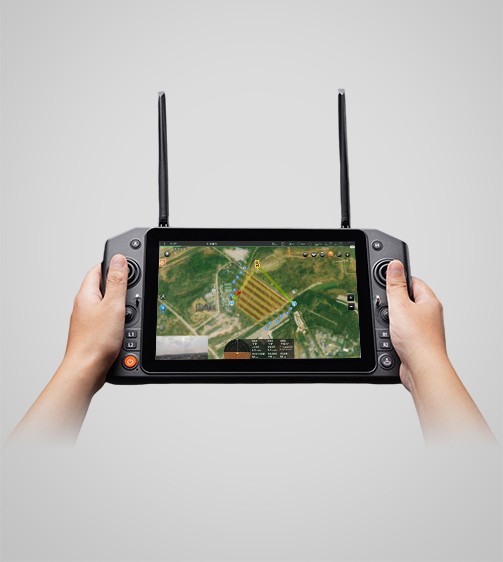
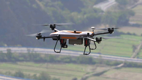
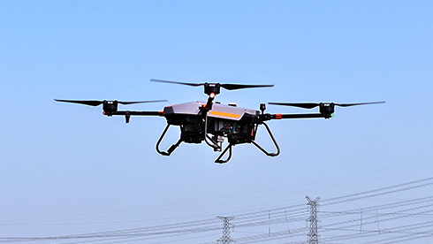
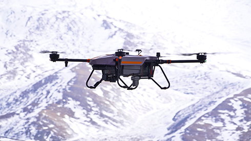
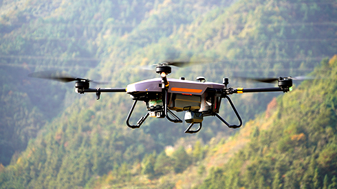
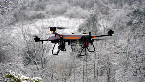
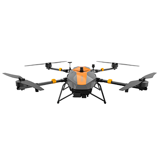
The BB4 is a high-end unmanned aircraft system designed for professional applications. Its modular design, with pre-installed arms and antennas, simplifies setup and allows it to be operational in just 2 minutes. With up to 40 minutes of flight time carrying a 5 kg payload, the BB4 is ideal for mounting high-performance LiDAR systems and DSLR cameras to survey large areas in a single mission and generate rich 3D point clouds.

Main Features

Dual GNSS + IMU
Integrated GNSS units and dual DJI A3 IMU.

High Payload
Support up to 7 kg of payload.

Extended Flight Time
Up to 55 minutes with a 1 kg payload.

DJI Lightbridge 2
Long-range operation up to 5 km.
Benefits and Performances
01 Quick Setup and Deployment
Achieve flight readiness in just 2 minutes with the BB4’s modular design and pre-installed arms and antennas for rapid deployment, enhancing operational efficiency.
02 High Payload Capacity
Carry up to 7 kg of equipment, including high-performance LiDAR systems and DSLR cameras. The BB4 supports diverse mission needs, from generating accurate 3D point clouds to conducting 3D photogrammetry.
03 Extended Flight Time
Benefit from up to 55 minutes of flight time with a 1 kg payload and up to 40 minutes with a 5 kg payload for extensive survey coverage in a single mission, improving data collection efficiency.
04 Survey-Grade Accuracy
Ensure high accuracy with integrated GNSS units and dual DJI A3 IMUs. The BB4 meets the stringent requirements of the surveying and mapping industry, providing reliable and precise data.
05 Long Range Operation
Operate at distances up to 5 km with DJI Lightbridge 2 to extend the operational range and ensure reliable communication during long-range missions.
06 Intelligent Flight Software
Utilize DJI Ground Station Pro (DJI GS Pro) for automated flight missions, data management, and collaboration. The intelligent software enhances the BB4’s operation, making drone workflow management more efficient.


Use Cases

Railway Line Surveys

Surveying and Mapping

Urban Planning


Detailed Specifications

CHCNAV BB4
High Payload Quadcopter Drone
Performances
- Altitude max. : 5000 m
- Payload capacity : 7,1 kg max
- Flight time : 55 min with 1 kg payload
Positioning
- GNSS : Dual Full GNSS
- Precision max. : 1 cm H / 2 cm V
Physical
- Type : Quadcopter
- Weight : 10,9 kg
- Dimensions : 110 x 110 x 44 cm
Send an Inquiry
Geofield is dedicated to quality, professionalism and ethics with strong commitment to exceed our client’s expectations.
Office
No. 44 Chime Avenue, New Haven, Enugu.