CHCNAV AlphaAir 10

CHCNAV AlphaAir 10

Professional Airborne LiDAR+RGB System

Highlights

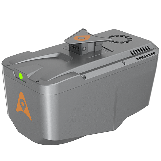
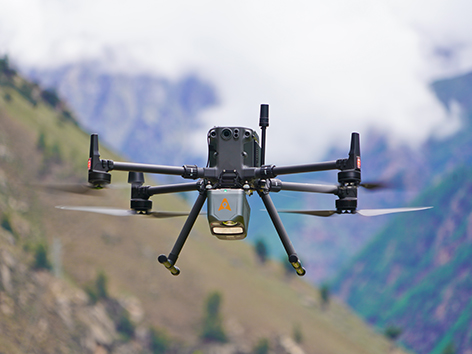
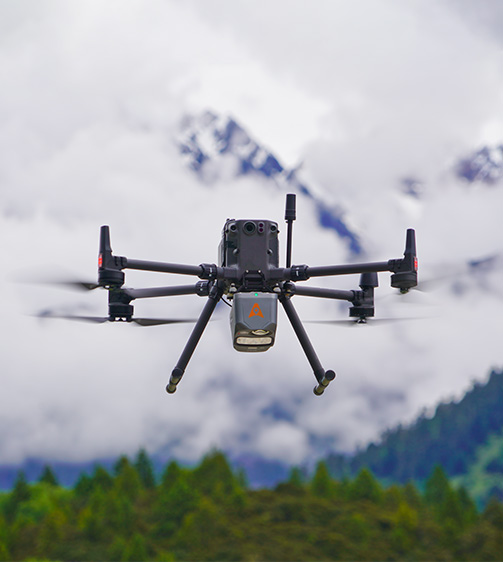
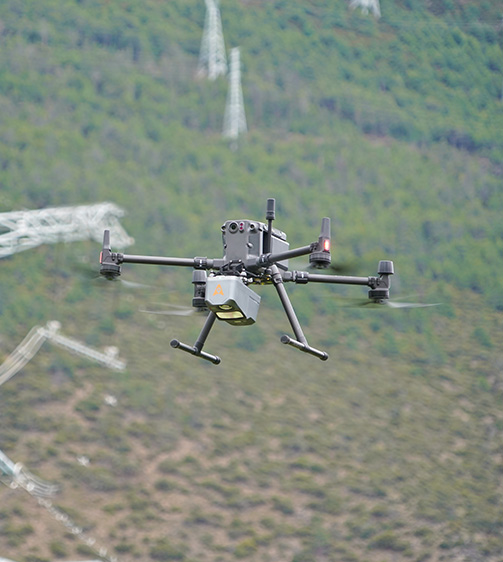
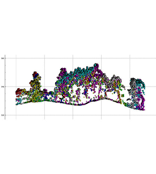
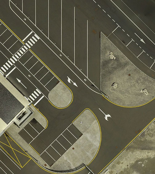
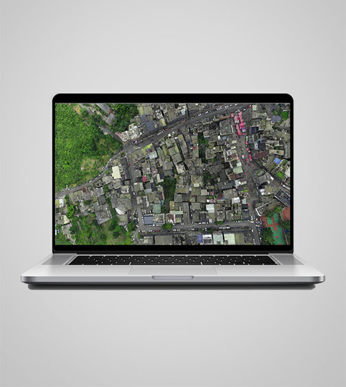
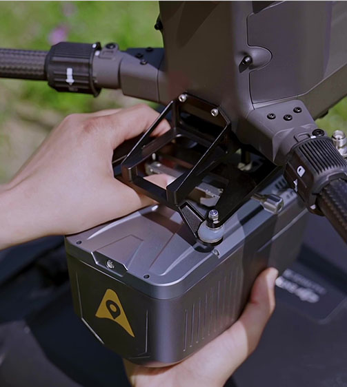
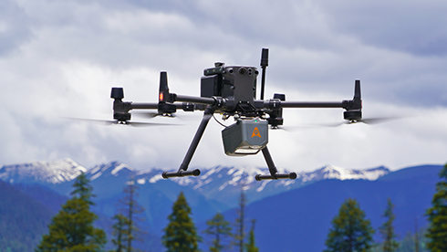
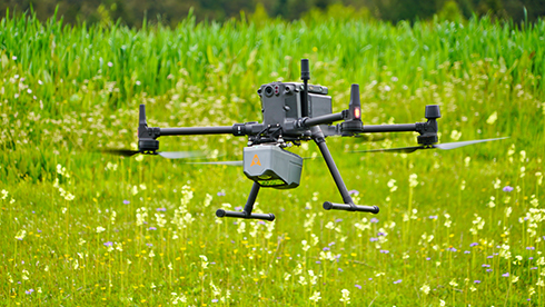
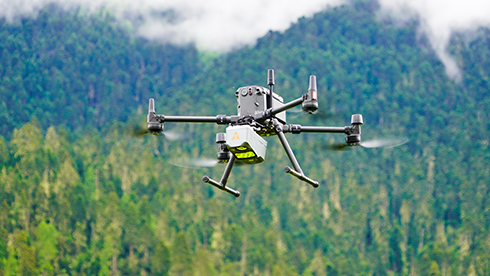
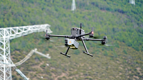
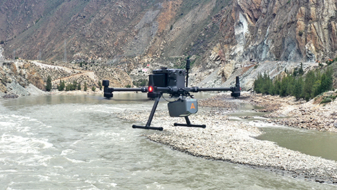
The AlphaAir 10 is a professional airborne LiDAR+RGB system designed to meet the demanding requirements of UAV LiDAR mapping and drone photogrammetry. This advanced solution integrates superior LiDAR technology with accurate GNSS positioning, IMU orientation, and a professional full frame orthophoto camera. Together with CHCNAV’s point cloud and image fusion modeling software, the AA10 delivers survey-grade accuracy, efficiency, and cost-effectiveness in 3D data acquisition and processing.

Main Features

High-Precision LiDAR

5 mm repeated range and 2-5 cm absolute accuracy.

45 MP Camera

Integrated full-frame orthographic camera.

Lightweight

Only 1.55 kg for easy UAV integration.

Benefits and Performances

01 High-Precision LiDAR Integration

Achieve unmatched accuracy with our high-precision LiDAR technology, offering 5 mm repeated range accuracy and 2-5 cm absolute precision. Enhance your mapping projects with reliable, detailed data even in complex environments.

Extend your survey range with up to 800 m measurements and 500,000 points per second scanning. Cover large areas efficiently and with high detail, maximizing survey productivity.

Utilize advanced multi-target capabilities with up to 8 target echoes, enabling effective penetration of dense vegetation. Create accurate DEMs and DSMs in challenging environments with improved ground surface acquisition.

Capture detailed imagery with the integrated 45 MP orthographic camera. Generate high-resolution point clouds and orthomosaic outputs for superior 3D model reconstruction and realistic textures.

Streamline your 3D data acquisition with CoPre and CoProcess software, facilitating post-processing and feature extraction. Achieve high-quality results with an easy-to-use, efficient workflow from data collection to final output.

Benefit from a compact, lightweight system (1.55 kg) that is easy to mount on various UAVs. Enjoy simplified installation with Alphaport’s one-click connection, enhancing operational flexibility.

Use Cases

Digital Elevation Model Generation

Forest Canopy Mapping

Mining Site Surveys

Detailed Specifications

CHCNAV AlphaAir 10

Professional Airborne LiDAR+RGB System

Laser Scanner

Imaging

Positioning

Sensors

Download

English

AA10_DS_EN.pdf

3.57 MB

French

AA10_DS_FR.pdf

5.40 MB

Spanish

AA10_DS_ES.pdf

5.40 MB

Send an Inquiry


Geofield is dedicated to quality, professionalism and ethics with strong commitment to exceed our client’s expectations.

Office

Newsletter

Geofield Project © 2025. All Rights Reserved.