CHCNAV RS10

CHCNAV RS10

Handheld SLAM 3D Laser Scanner + GNSS RTK

Highlights

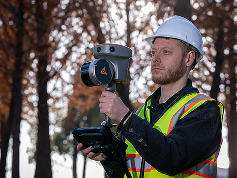
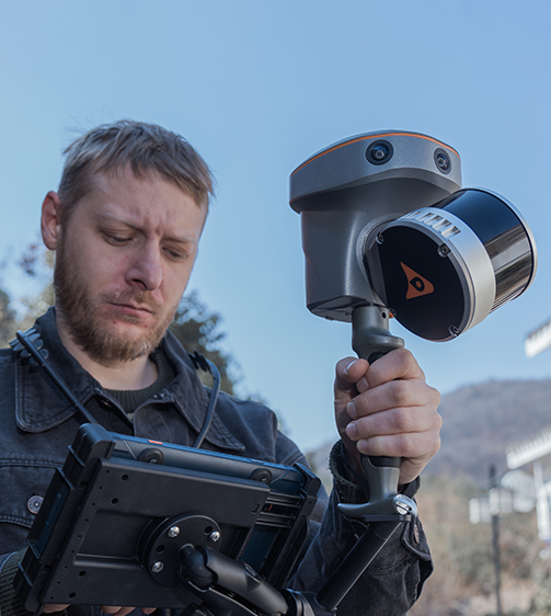
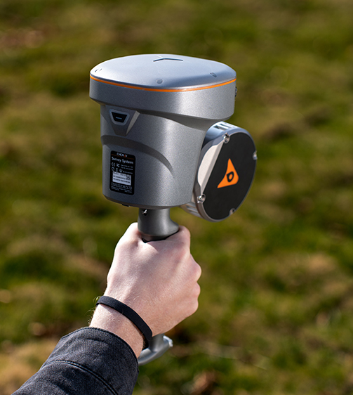
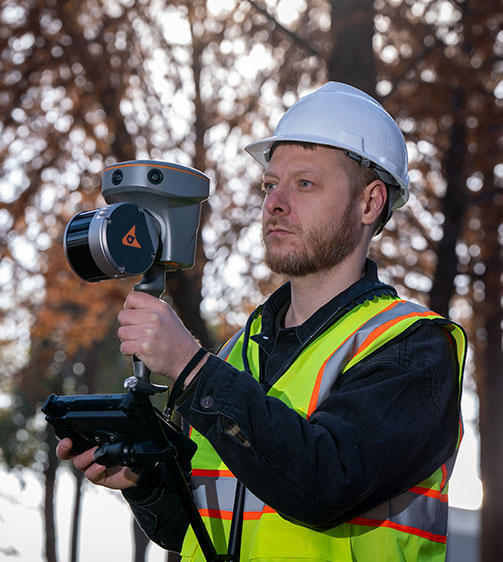
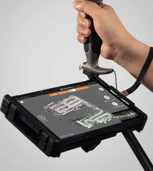
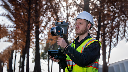
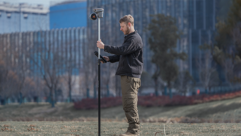
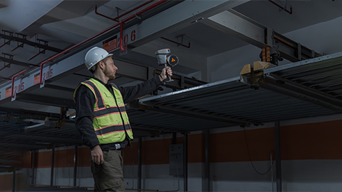
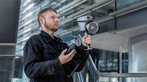
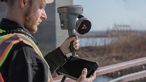
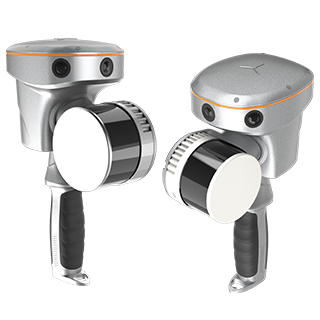
The RS10 integrates GNSS RTK, laser scanning, and visual SLAM technologies into one single platform. This fusion increases the efficiency and accuracy of both indoor and outdoor 3D scanning and surveying tasks. It gives surveyors the ability to work in areas with weak GNSS signals, providing unparalleled flexibility. Designed for surveying, BIM, forestry, power line inspection, underground mapping, and more, the RS10 embodies versatility, making it an essential tool for professionals looking to expand their surveying capabilities.

Main Features

GNSS RTK + SLAM

Combine RTK, laser, and visual SLAM to achieve 5cm absolute accuracy.

Real-Time Mapping

Real-time georeferenced point clouds in the field.

High-Precision

1 cm relative accuracy with GNSS and LiDAR technologies.

Hot-Swappable Battery

60 minutes per battery with hot-swap capability for uninterrupted operation.

Benefits and Performances

01 Integrated GNSS RTK and SLAM

Combine GNSS RTK and SLAM for unparalleled flexibility. The RS10 ensures precise data collection in areas with weak or no GNSS signals, enhancing indoor and outdoor surveying accuracy.

Achieve 5 cm absolute measurement accuracy with the 4th generation GNSS antenna and high-precision LiDAR. The RS10 delivers reliable data for detailed architectural surveys and complex infrastructure projects.

The RS10 creates georeferenced point clouds directly in the field with real-time SLAM capabilities. It provides immediate feedback on collected data, allowing for on-the-fly adjustments to ensure complete coverage.

Eliminate the need for traditional loop closure with integrated GNSS and SLAM technologies to simplify field data collection and reduce project completion time and effort.

Use the RS10 for a wide range of applications, from BIM and forestry to power line inspection and underground mapping. Its versatility makes it an invaluable tool for professionals in various fields.

The RS10 streamlines your workflow with the SmartGo and CoPre software for real-time data visualization and point cloud processing. It supports efficient and accurate data management from collection to modeling.

Operate in challenging environments with the IP64-rated, lightweight RS10. The robust design ensures reliability and ease of use in diverse conditions.

Maintain continuous operation with the hot-swappable lithium battery. The RS10 offers 60 minutes of runtime per battery, allowing for seamless replacement without powering off the unit.

Use Cases

As-Built Surveying

Forestry and Vegetation Mapping

Utility Inspection

Augmented Topographic Surveying

Detailed Specifications

CHCNAV RS10

Handheld SLAM 3D Laser Scanner + GNSS RTK

Laser Scanner

Sensors

Positioning

Download

English

RS10-32-lines-_DS_EN.pdf

2.13 MB

French

RS10-32-lines-_DS_FR.pdf

2.19 MB

Spanish

RS10-32-lines-_DS_ES.pdf

2.19 MB

Send an Inquiry


Geofield is dedicated to quality, professionalism and ethics with strong commitment to exceed our client’s expectations.

Office

Newsletter

Geofield Project © 2025. All Rights Reserved.